Skip to routes
Highland NomadTravel · Central Asia
ServicesRoutesMapPracticalGalleryContact
ruen
+992 90 050 58 63Plan your trip
Your journey. Your route. Our local expertise.

Central Asia & Silk Road Adventures

Your journey. Your route. Our local expertise.

Private and group tours across Tajikistan, Kyrgyzstan and Uzbekistan. Tell us where you want to go — we will build the journey for you.

Tajikistan • Kyrgyzstan • Uzbekistan

Plan your tripExplore toursContact us
3
Countries in the catalogue
4 655 m
Highest point on our routes
3 650 m
Our base altitude in Murghab
21
Days in the Grand Tour
Листайте вниз
Plan

Where to and for how long

01

Where to

02

For how long

03

In what format

22routes · in the catalogue

Show routes
  • The Pamir Highway M41
  • Ak-Baital · 4,655 m
  • Song-Kul · 3,016 m
  • Samarkand
  • Lenin Peak · 7,134 m
  • Based in Murghab
  • The Wakhan Valley
  • The Pamir Highway M41
  • Ak-Baital · 4,655 m
  • Song-Kul · 3,016 m
  • Samarkand
  • Lenin Peak · 7,134 m
  • Based in Murghab
  • The Wakhan Valley
Who we are

A local team in the heart of Central Asia

Highland Nomad Travel is an operator based in Murghab. We guide across the Pamirs, the Tien Shan and the Silk Road cities, and we build routes around people rather than timetables.

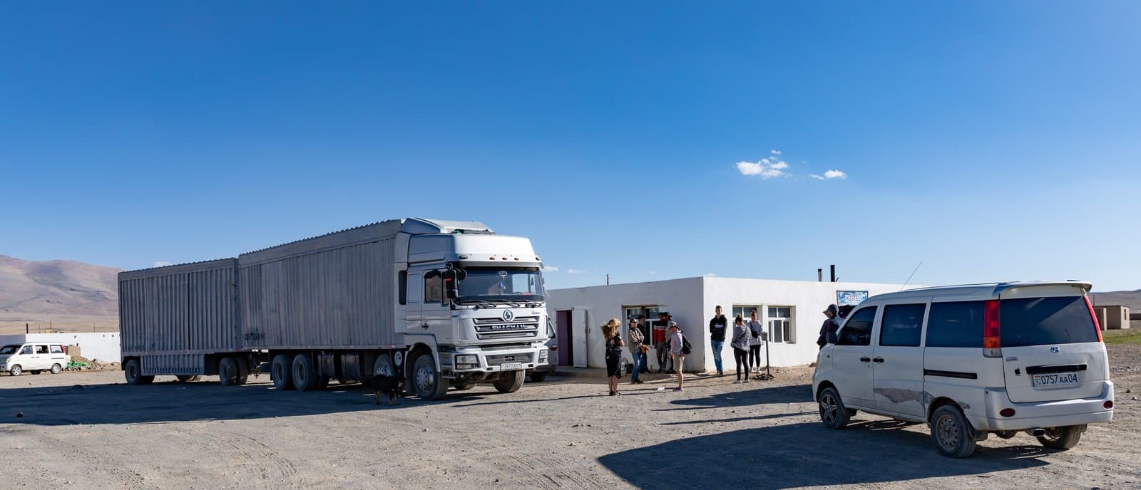
We started out giving stranded motorcyclists a lift into Murghab. Today we are a company with our own vehicles, a base on the Pamir Highway and routes across Tajikistan, Kyrgyzstan and Uzbekistan.

The Highland Nomad Travel team, Murghab
Services

More than ready-made tours

Visas, GBAO permits, vehicles, accommodation and transfers — available separately, without booking a tour.

01

Custom & private tours

A route built around what you want, across Tajikistan, Kyrgyzstan, Uzbekistan and the rest of Central Asia. We rework the itinerary, length and programme entirely.

Ask us
02

Visa assistance

We explain the process and help with the visa application and supporting documents.

Ask us
03

Permits & travel documents

Regional travel permits, including the GBAO permit — without it you will not get onto the Pamirs.

Ask us
04

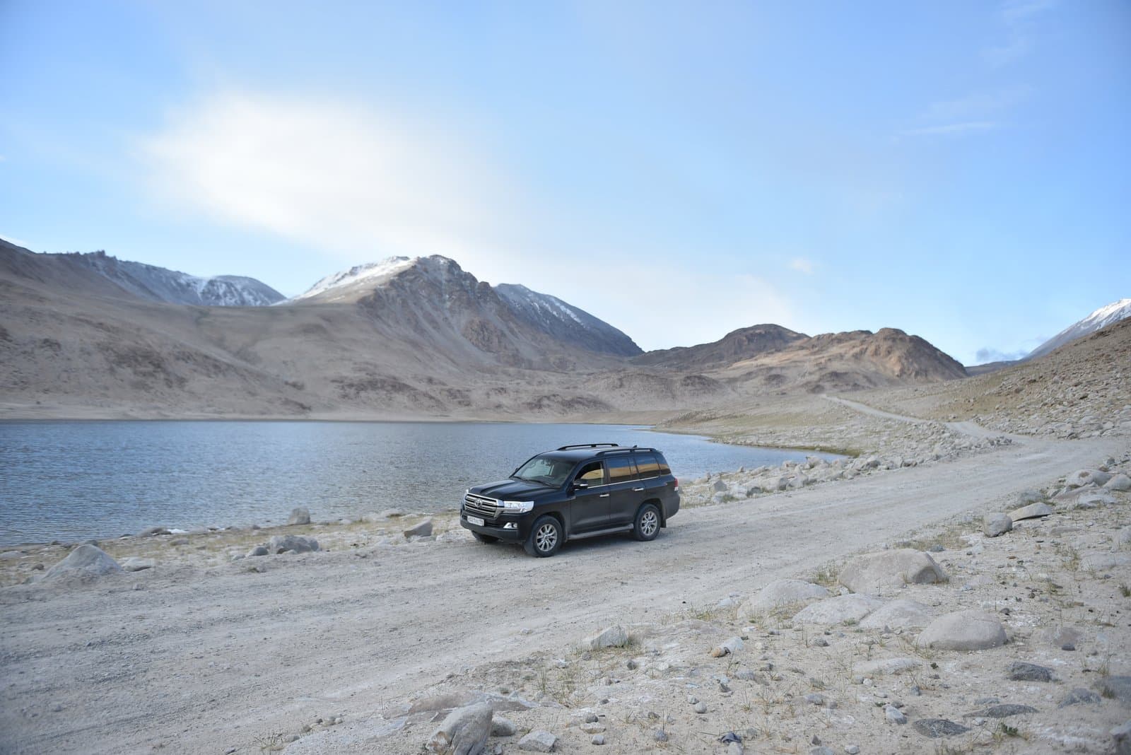
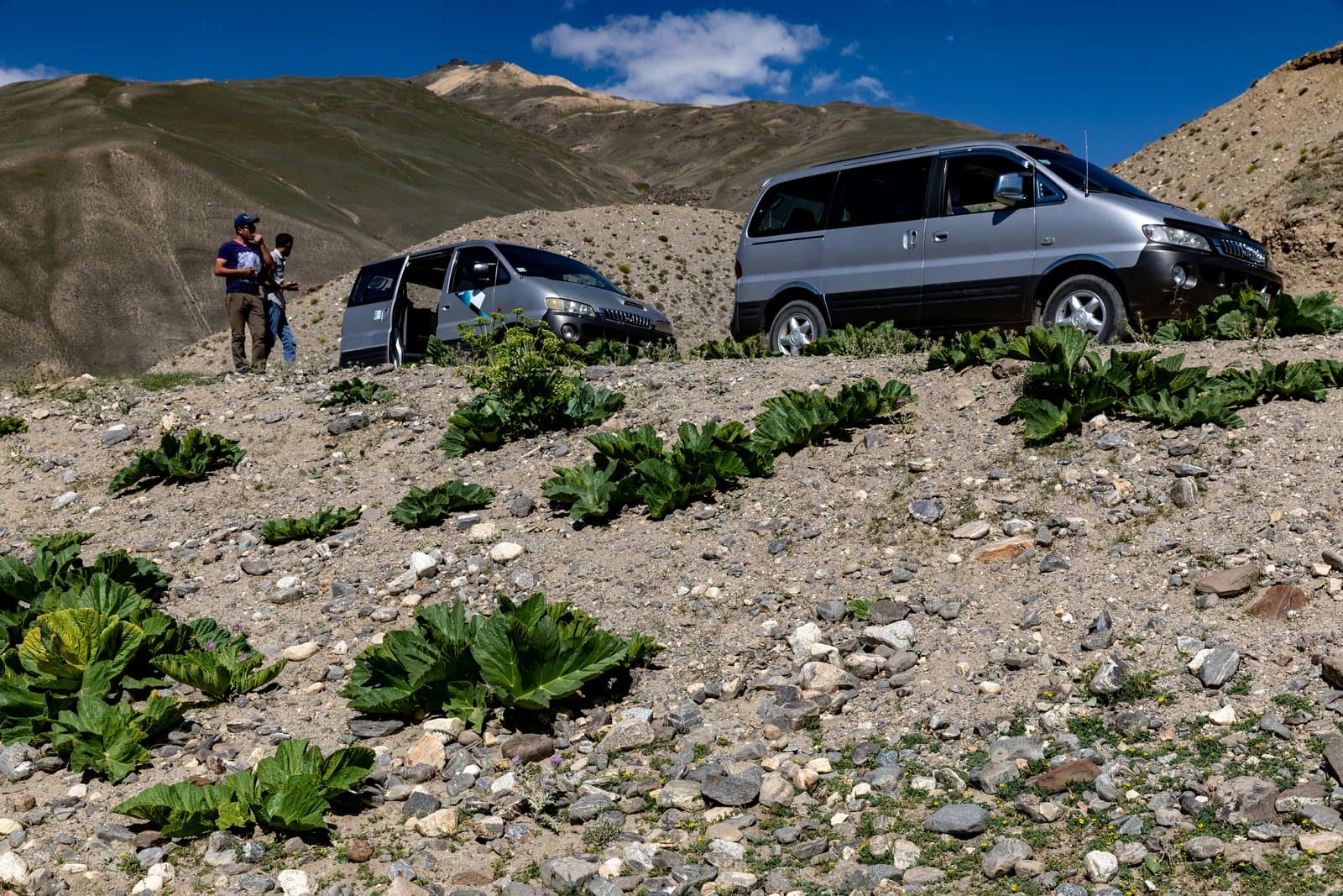
4×4 car rental

Vehicles for mountain and remote regions, with or without a driver.

Ask us
05

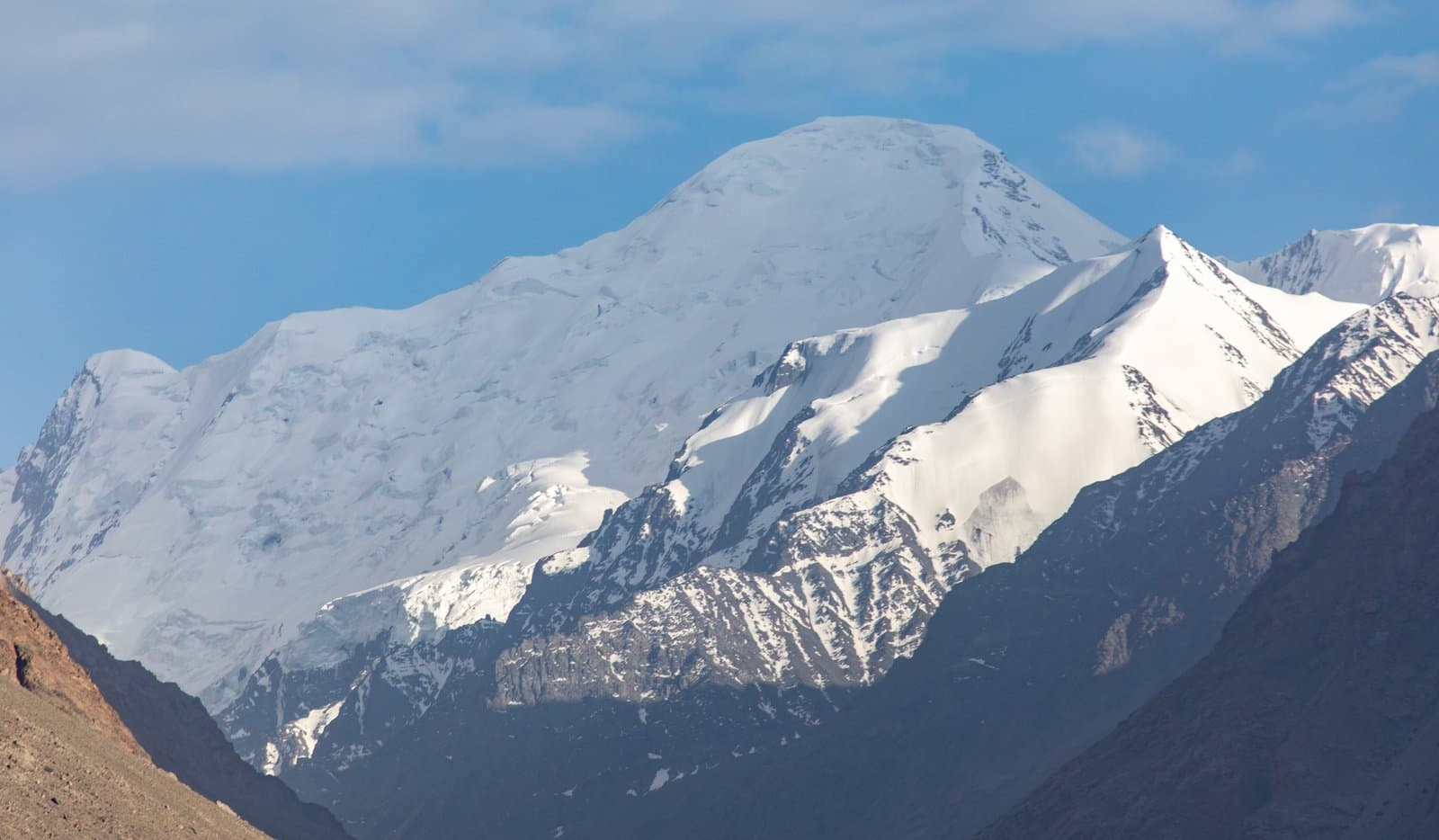
Pamir & mountain expeditions

The Pamir Highway, the Wakhan corridor, the Eastern Pamirs and other mountain routes.

Ask us
06

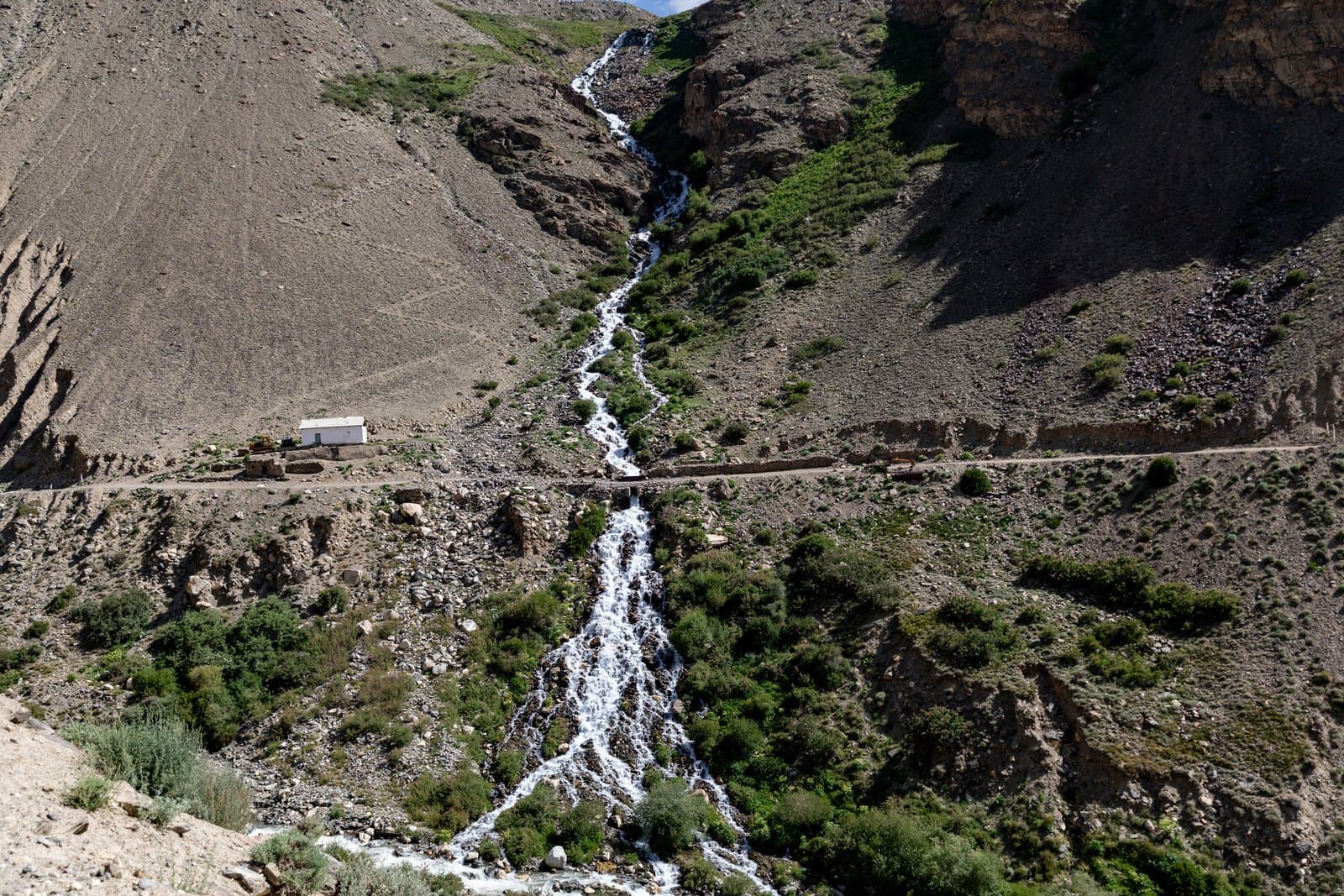
Hot springs & hidden places

Trips to hot springs, little-known places and natural landmarks.

Ask us
07

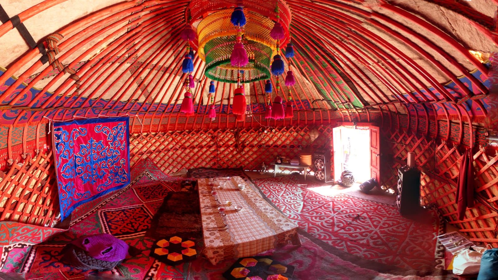
Accommodation

Hotels, guesthouses and yurts booked along the whole route.

Ask us
08

Transfers & transportation

Airport and border pickups, and transport support along the route.

Ask us
Routes

Four catalogues of destinations

Tajikistan, Kyrgyzstan, Uzbekistan and combined routes across several countries at once.

Found: 22 routes · Page 1/3
Tajikistan

08
The Pamir Highway: Osh to Khorog
jeep tourflagship route
TJ-01
Tajikistan · GBAO

The Pamir Highway: Osh to Khorog

The classic full traverse, overnighting in Karakul and Murghab

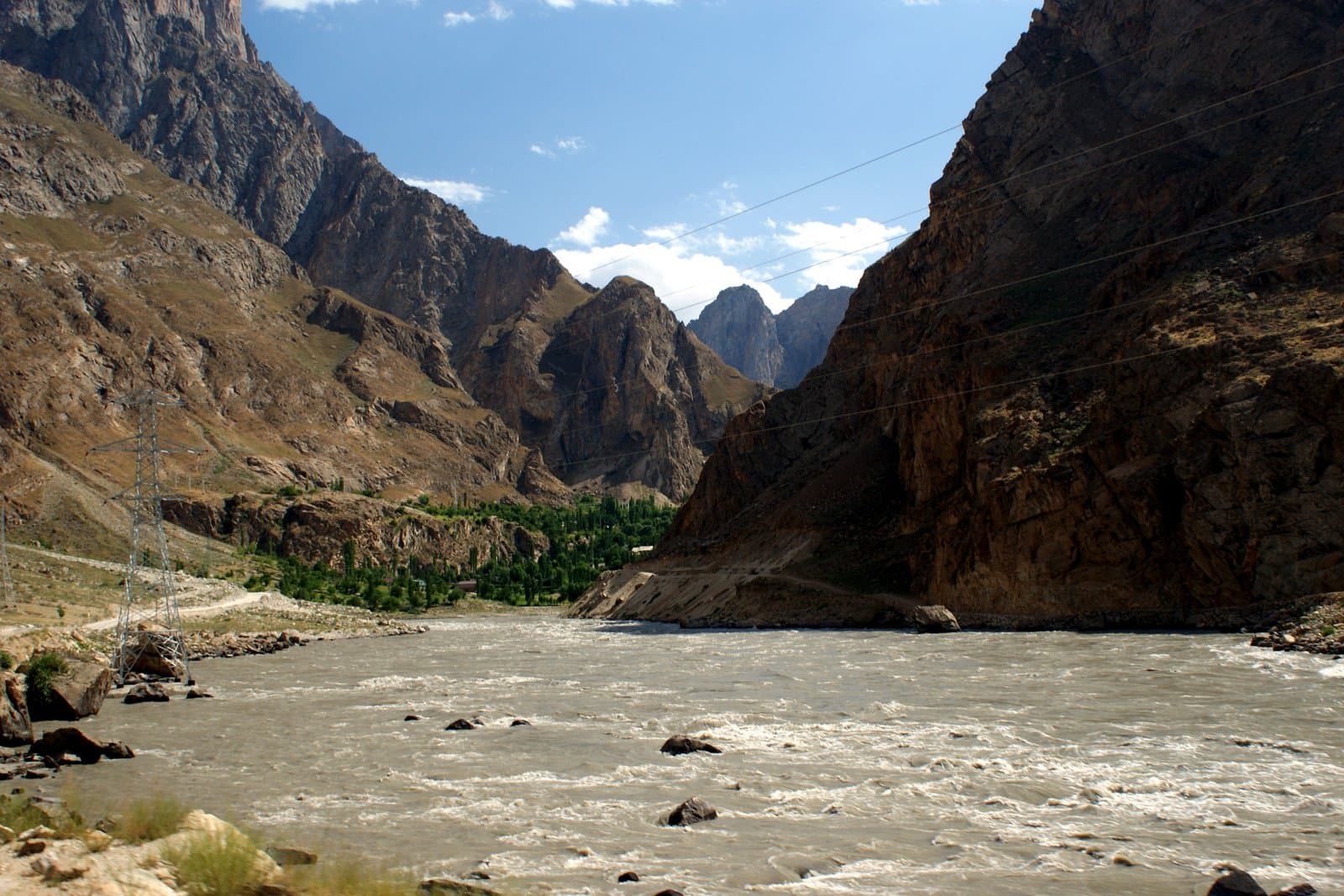
Eight days from the Kyrgyz foothills to the Panj: the Kyzyl-Art pass, the salt lake of Karakul, Ak-Baital, the Alichur plateau and the descent to Khorog.

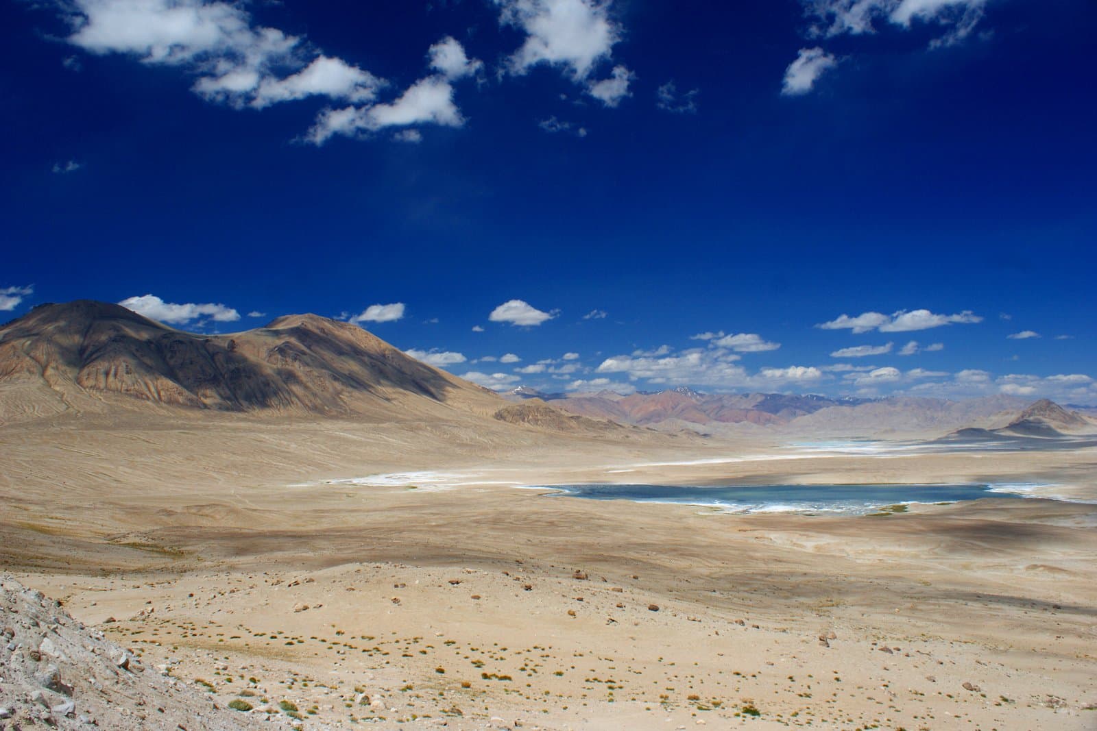
  • The Ak-Baital pass, 4,655 m
  • The salt lake of Karakul
  • A rest day in Murghab at 3,650 m
  • The Alichur high steppe
  • A night in a yurt

OshKhorog

days
8
Max altitude
4655m
Distance
940km
moderate · June – SeptemberЦена по запросу
The Wakhan Valley
jeep tour
TJ-02
Tajikistan · GBAO

The Wakhan Valley

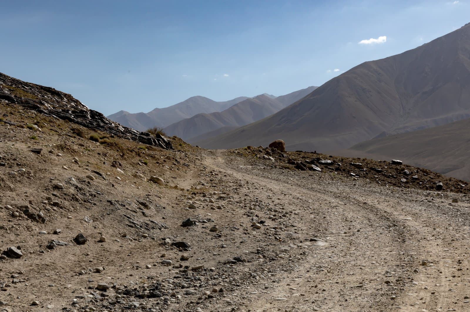
Along the Panj: fortresses, hot springs and the Hindu Kush opposite

KhorogMurghab
days
6
Max altitude
4344m
Distance
520km
moderate · May – OctoberЦена по запросу
Eastern Pamir
jeep tourshort trip
TJ-03
Tajikistan · Eastern Pamirs

Eastern Pamir

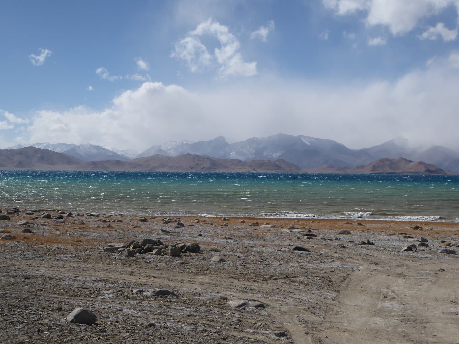
The high plateau: lakes, passes and the Kyrgyz camps of the Pamirs

MurghabMurghab
days
4
Max altitude
4655m
Distance
430km
easy · June – SeptemberЦена по запросу
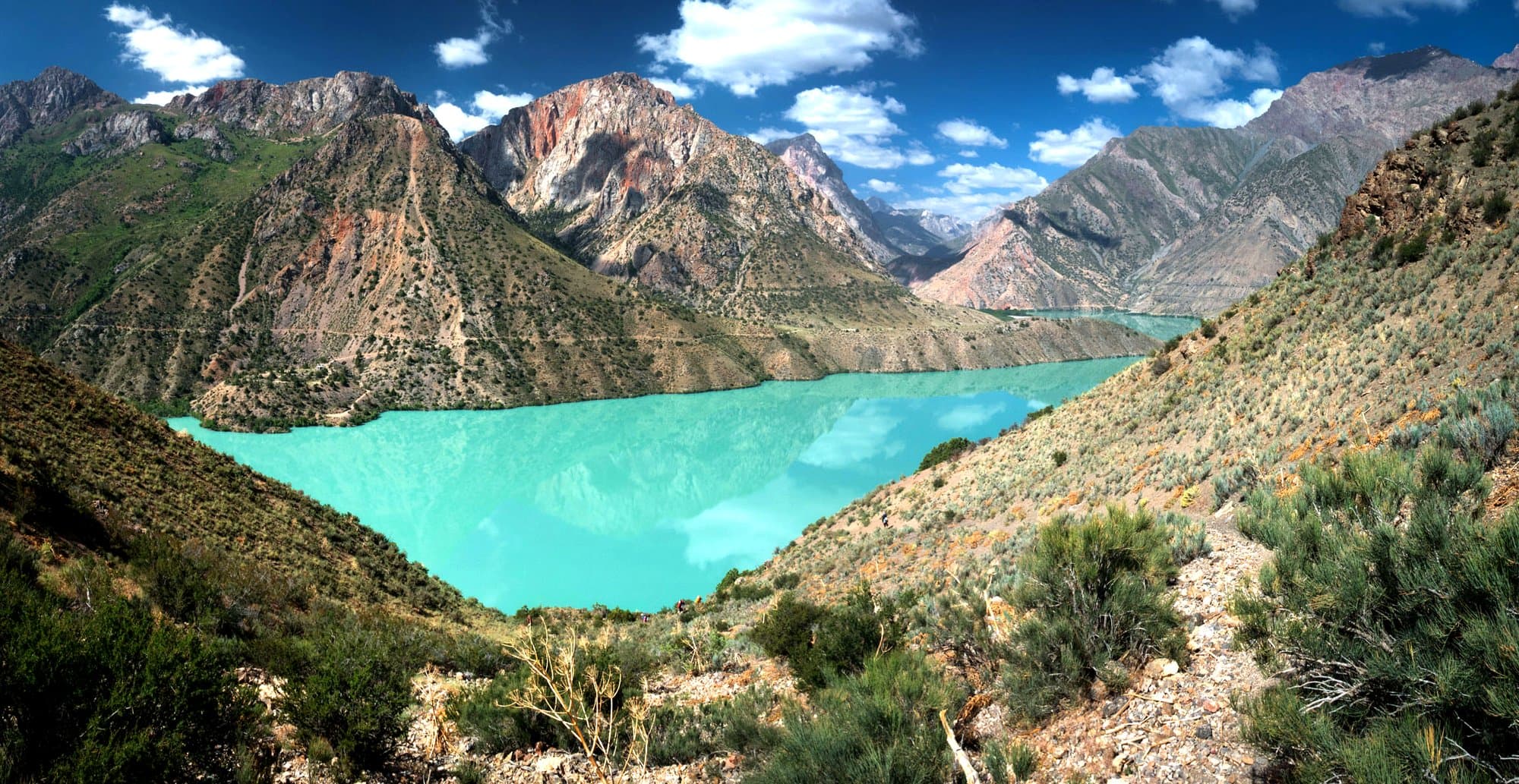
Karakul, Murghab & hot springs experience
jeep tour
TJ-04
Tajikistan · Eastern Pamirs

Karakul, Murghab & hot springs experience

The plateau, the salt lake and bathing in springs at altitude

OshMurghab
days
5
Max altitude
4655m
Distance
560km
easy · June – SeptemberЦена по запросу
Pamir + Dushanbe
jeep tour
TJ-05
Tajikistan · GBAO · Khatlon

Pamir + Dushanbe

The full highway, descending to the capital through the Panj gorge

OshDushanbe
days
11
Max altitude
4655m
Distance
1520km
moderate · June – SeptemberЦена по запросу
Women's Pamir 4×4 Adventure
women onlywomen only
TJ-W1
Tajikistan · GBAO

Women's Pamir 4×4 Adventure

A women-only journey along the Pamir Highway

A journey for women who want to explore the legendary Pamir Highway, experience remote mountain landscapes and discover the culture of Central Asia — in a small women-only group.

  • 4×4 adventure along the Pamir Highway
  • Eastern Pamir & high-altitude landscapes
  • Lake Karakul
  • Murghab & Alichur
  • Local villages & authentic Pamiri culture

Dushanbe / OshOsh / Dushanbe

days
9
Max altitude
4655m
Distance
980km
moderate · June – SeptemberЦена по запросу
Trekking: the Pshart valleys
trekking
TJ-06
Tajikistan · Eastern Pamirs

Trekking: the Pshart valleys

Five days on foot from Murghab over the Gumbezkul pass

MurghabMurghab
days
5
Max altitude
4731m
Distance
60km
hard · July – SeptemberЦена по запросу
Motorcycle tour: Osh to Dushanbe
motorcycle
TJ-07
Tajikistan · Kyrgyzstan · Tajikistan

Motorcycle tour: Osh to Dushanbe

The full highway on your own bike, with a support vehicle

OshDushanbe

days
11
Max altitude
4655m
Distance
1520km
expedition · June – SeptemberЦена по запросу
Map

Route line and elevation profile

Pick a route to see which passes it crosses and how high you sleep each night.

All routes22
OshKhorogMurghabDushanbeBishkekKarakolNarynKochkorOsh bazaarSamarkandUlugh Beg observatoryBukharaLyab-i HauzTashkentHazrati ImamFergana

Each line is one route, coloured by country. Pick a route to see its elevation profile.
Tajikistan
The Pamir Highway: Osh to Khorog8 dThe Wakhan Valley6 dEastern Pamir4 dKarakul, Murghab & hot springs experience5 dPamir + Dushanbe11 dWomen's Pamir 4×4 Adventure9 dTrekking: the Pshart valleys5 dMotorcycle tour: Osh to Dushanbe11 d
Kyrgyzstan
Issyk-Kul5 dNaryn & Tash Rabat3 dSong-Kul3 dOsh2 dLenin Peak: base camp6 dTulpar-Kul lake3 d
Uzbekistan
Samarkand2 dBukhara2 dTashkent2 dThe Fergana Valley3 d
Multi-country
Kyrgyzstan + Tajikistan14 dTajikistan + Uzbekistan15 dKyrgyzstan + Uzbekistan12 dCentral Asia Grand Tour21 d
Why us

What you get besides the road

Мургаб

We are from here

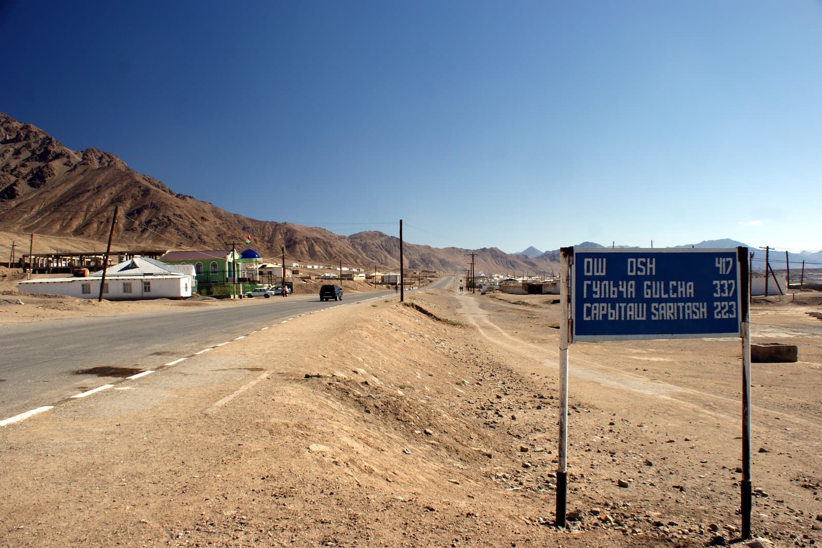
Our base is in Murghab at 3,650 m, halfway along the Pamir Highway. We know this road because we drive it year-round, not because we read about it.
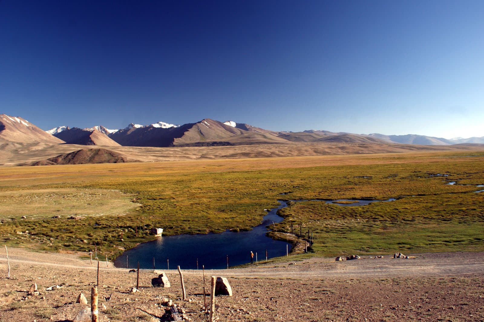
4 655 м

Altitude handled

Every itinerary is built around acclimatisation, and every vehicle carries oxygen and a pulse oximeter.
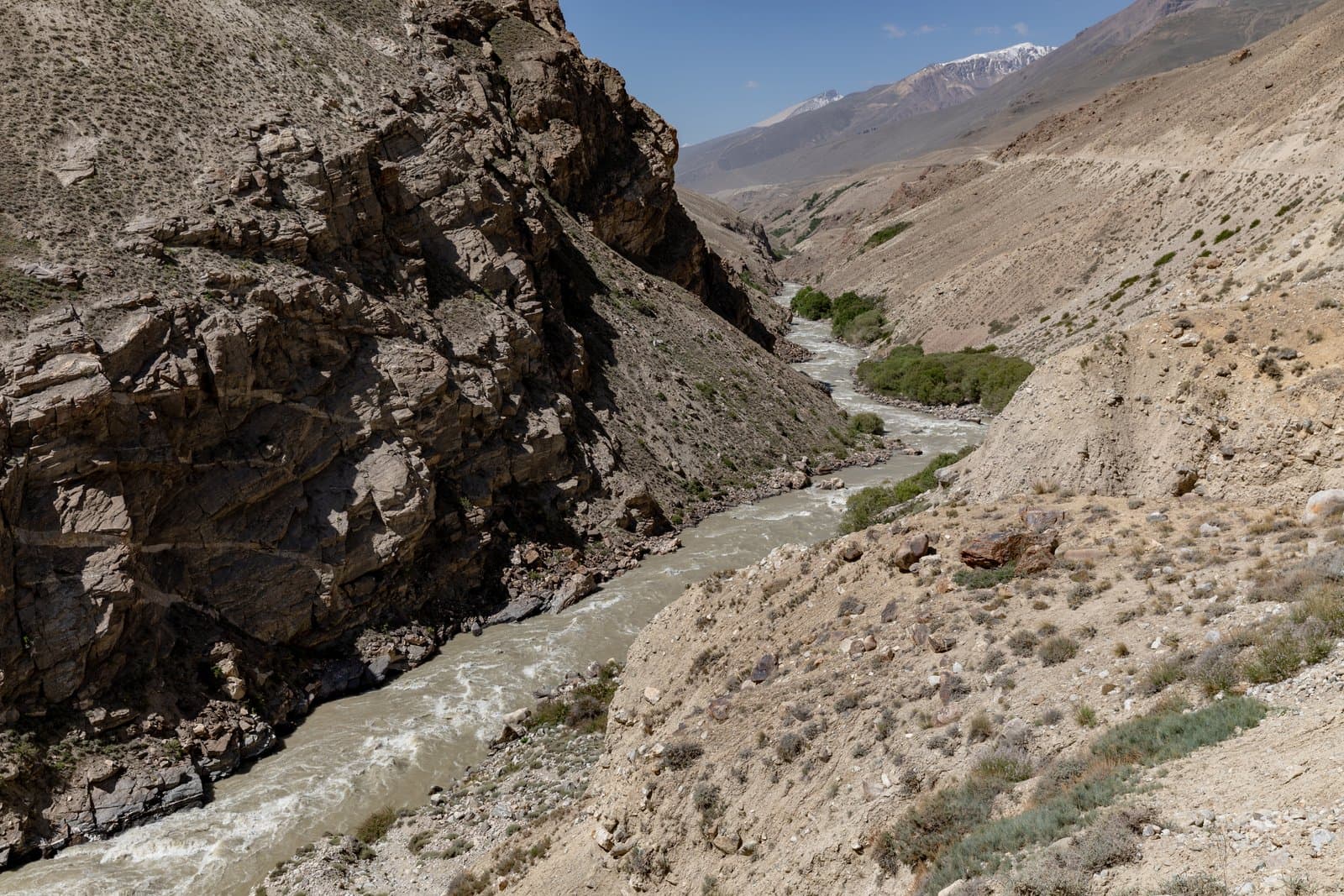
A route built for you

The ready-made programmes are only a starting point. We rework the line, the pace and the length until the route is yours.
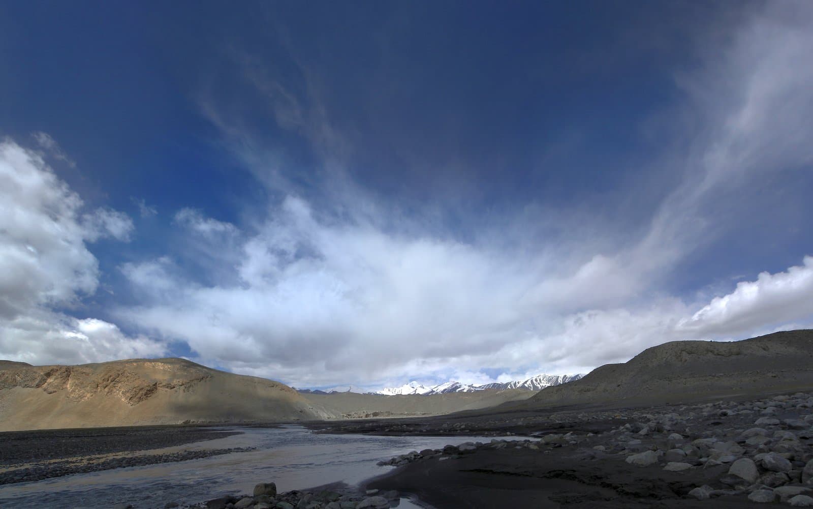
Visas and permits

We help with visas, the GBAO permit and paperwork — a standalone service you can use without booking a tour.

When to travel

Four seasons of Central Asia

The mountains and the cities run on different calendars. Here is what is open, what is closed, and where to go in each season.
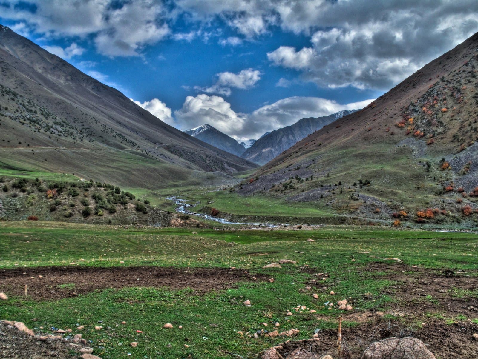
The mountain season. Everything is open
peak season

The mountain season. Everything is open

The only window when the full Pamir Highway is passable and the yurt camps on Song-Kul are running. July and August are the most reliable — and the busiest: book guesthouses in Murghab ahead.

Months
June – September
Temperature
up to +25 °C by day, near freezing at night on the plateau
Good for
the Pamirs, the Tien Shan, every jeep tour and trek
Practical

What to know before you come

The three questions everyone asks: the permit, the season and the altitude.

01

The GBAO permit

GBAO is a border zone. On top of the Tajik visa you need a separate permit, issued with the visa on the e-visa portal or in Dushanbe. Without it you will be turned back at the Kyzyl-Art checkpoint. We help with the paperwork.

02

Season and weather

The mountain season runs from mid-June to mid-September. In May and October the passes can close overnight with snow. The Uzbek cities are best in spring and autumn — summer goes over forty degrees.

03

Altitude and acclimatisation

On the Pamir routes most of the way sits above 3,500 m. We gain height gradually and carry oxygen, but almost everyone gets a headache on the first day — that is normal. If altitude is a problem, we have routes with no nights above 3,100 m.

Vehicles

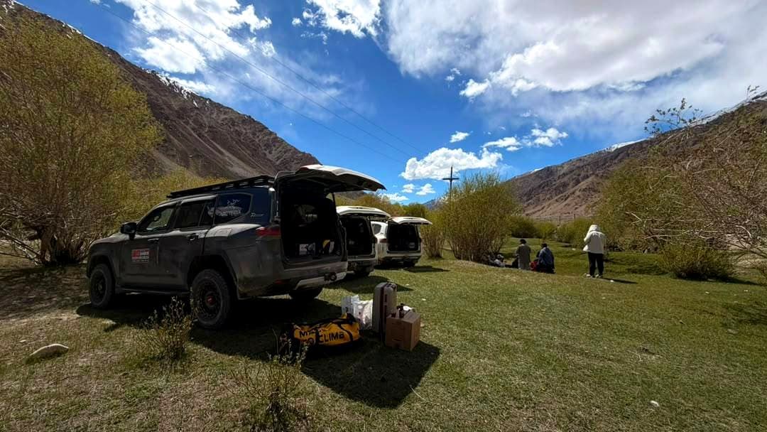
Cars prepared for the mountains

Four-wheel drive, fresh tyres, spare fuel and water. No one is towing you off the M41.
Toyota Land Cruiser 78

Toyota Land Cruiser 78

4×4 station wagon

The workhorse of the highway: diesel, manual, two spare wheels and a roof rack.

5 seats
Toyota Land Cruiser Prado

Toyota Land Cruiser Prado

4×4 SUV

More comfortable on long legs; a good fit for mixed groups.

4 seats
4×4 minibus

4×4 minibus

groups up to 10

For larger groups on the sealed sections and for trailhead drop-offs.

10 seats

Gallery

Central Asia unfiltered

0
Countries in the catalogue
0 m
Highest point on our routes
0 m
Our base altitude in Murghab
0
Days in the Grand Tour
Offers

Special terms

Private departures on any dates

Group departures run to a schedule, but we will build the route around your dates — from two people up.

Цена по запросу
Join this departure

Women-only groups on the Pamirs

A separate format: a small women-only group, a calmer pace, more time in the villages and at the hot springs.

Цена по запросу
Join this departure

A night in Murghab for independent travellers

Travelling independently by bike or motorcycle? Stop with us for a shower and secure parking.

Цена по запросу
Join this departure
FAQ

The short answers

Yes, for every Pamir route. The Gorno-Badakhshan Autonomous Region is a border zone and requires a separate permit in addition to your Tajik visa. It is issued together with the visa on the e-visa portal or in Dushanbe. We help with the paperwork as a standalone service.

Contact

We are in Murghab, right on the highway

Our office is on the M41. You can leave your vehicle here, rest and regroup.

Address
M41, Мургаб, 736600, ГБАО, Таджикистан
Opening hours
Ежедневно, 08:00 – 20:00
Call us
+992 90 050 58 63
E-mail
[email protected]
Finding us

Our office is on the M41 in Murghab, in the same building as the guesthouse. 300 metres from the bazaar turn-off, on the Khorog side.

Map

M41, Мургаб, 736600, ГБАО, Таджикистан

lat
38.17° N
lng
73.96° E
Построить маршрут
Request

Tell us where you want to go

We reply within a day with a route built around your dates, pace and budget.

+992 90 050 58 63

Trip request

Нажимая кнопку, вы соглашаетесь на обработку данных

Highland NomadTravel · Central Asia

A local tour operator in Central Asia. Private and group tours across Tajikistan, Kyrgyzstan and Uzbekistan, 4×4 rental, visa and permit assistance.

Sections

ServicesRoutesMapPracticalGalleryContact

Contact

+992 90 050 58 63[email protected]

M41, Мургаб, 736600, ГБАО, Таджикистан

38.1697 / 73.9631

© 2026 Highland Nomads Travel

Photo creditsBack to top

The Pamir Highway: Osh to Khorog

This is not a dash along the highway: the schedule is built around acclimatisation. The first night is in Sary-Tash at 3,170 m, the second by Lake Karakul, and only then do we cross Ak-Baital. That order gives your body three days of gradual gain and takes most of the altitude sickness out of the trip. Murghab is a rest day: the shipping-container bazaar, a hot shower and a chance to do laundry. Then the Alichur plateau, the turn to Bulunkul — the coldest place in Tajikistan — and the descent along the Gunt gorge to Khorog.

Day 1. Osh to Sary-Tash

We leave Osh, cross the Alai valley and get the first view of the Trans-Alai range. The night is in Sary-Tash, where the climbing begins.

Day 2. Sary-Tash to Karakul

The border, the Kyzyl-Art pass (4,280 m) and the first taste of the Eastern Pamirs. We sleep beside the salt lake of Karakul, in a meteorite crater.

Day 3. Karakul to Murghab over Ak-Baital

The high point of the route: Ak-Baital, 4,655 m. Then down into Murghab, the highest district town in the country.

Day 4. Murghab: acclimatisation day

A day without driving. The container bazaar, a short walk into the surrounding hills, a hot shower and laundry.

Day 5. Murghab to Alichur

High steppe, summer camps and yak herds. A short driving day, timed for the evening light.

Day 6. Alichur to Bulunkul and Yamchun

The turn-off to the Bulunkul and Yashilkul lakes — the site of Tajikistan's record low temperature.

Day 7. The Gunt valley

The descent: we lose a kilometre and a half of altitude in a day, and trees reappear.

Day 8. Khorog

The finish. The botanical garden, the Gunt embankment, an evening in town.

The Wakhan Valley

The Wakhan corridor is the other side of the Pamirs: not empty steppe but a lived-in valley of villages, apricot orchards and fortresses over fifteen hundred years old. Along the way: Yamchun and Kaakha, the Bibi Fatima hot spring, the Muborakkadam museum in Yamg. The route ends by climbing the Khargush pass back onto the plateau, to Bulunkul and Murghab.

Day 1. Khorog to Ishkashim

The road along the Panj. The first views of the Afghan bank — in places less than a hundred metres away.

Day 2. Ishkashim to Yamchun and Vrang

The Kaakha fortress, the climb to Yamchun and the Bibi Fatima hot spring at 3,200 m.

Day 3. Vrang to Langar

The Buddhist stupa at Vrang, the petroglyphs above Langar and the confluence of the Pamir and Wakhan rivers.

Day 4. Langar to Bulunkul over Khargush

The climb back onto the plateau over the Khargush pass (4,344 m), past Lake Zorkul.

Day 5. Bulunkul to Alichur

The Bulunkul and Yashilkul lakes, then back onto the highway.

Day 6. Alichur to Murghab

The final run across the steppe to Murghab.

Eastern Pamir

Rangkul and Shorkul are two lakes in a closed basin at 3,800 m that transit groups almost never reach. Yaks graze here, and the Chinese border is forty kilometres away.

Day 1. Murghab to Rangkul

The transfer into the Rangkul basin, an evening by the water.

Day 2. Rangkul to Karakul over Ak-Baital

Back onto the highway, up to the high point and a night by the salt lake.

Day 3. Karakul to Murghab

The road back across the plateau, stopping at the summer camps.

Day 4. Murghab

A free morning and handover for onward travel.

Karakul, Murghab & hot springs experience

A route for people who care about places rather than distance. Rest days, hot springs, tea in a yurt and one of the finest sunsets on Lake Karakul.

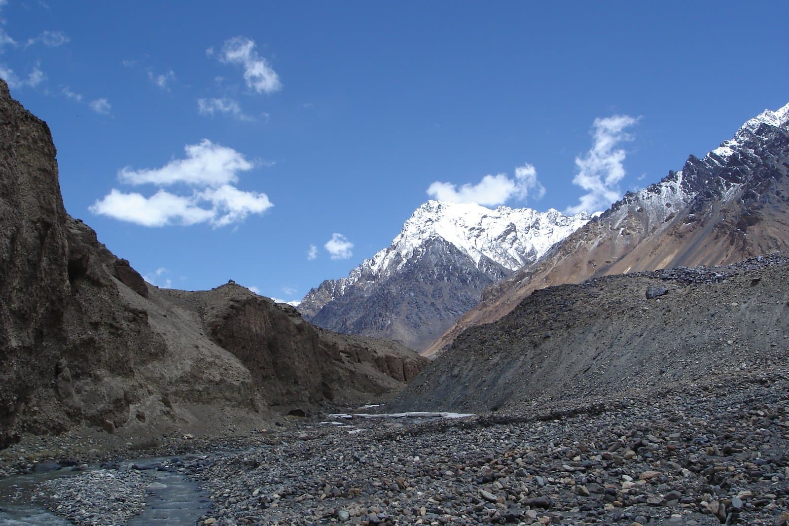
Pamir + Dushanbe

Our longest route. It starts at nearly five thousand metres and ends in the subtropics of Dushanbe, with three hundred kilometres of road along a border river in between.

Women's Pamir 4×4 Adventure

Format: small women-only groups or a private trip. Seven to twelve days, starting from Dushanbe or Osh — we choose the direction together. The pace is calmer than on the standard route: more stops, more time in the villages and at the springs, fewer kilometres a day.

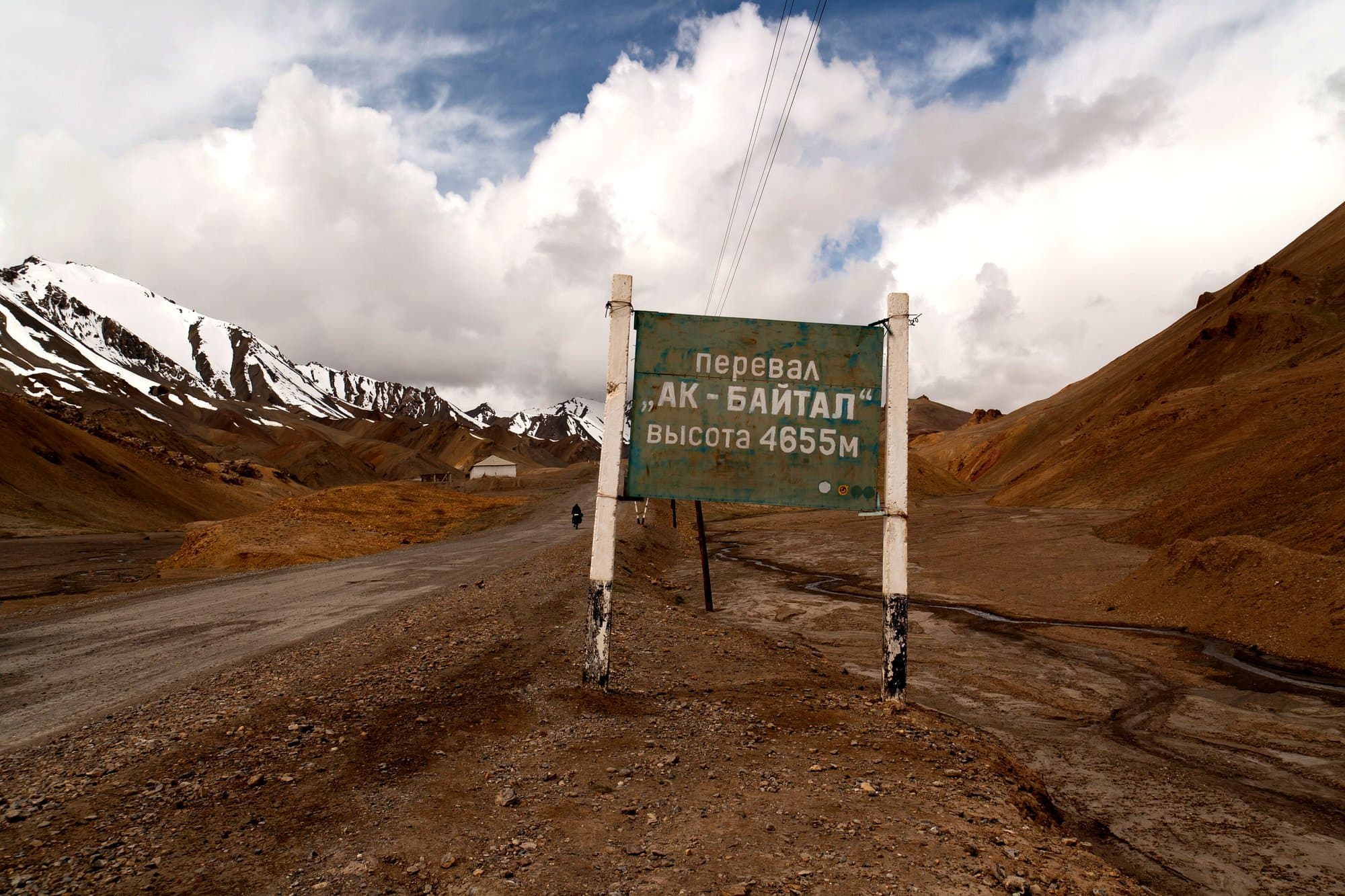
Trekking: the Pshart valleys

A route for people who are already acclimatised: the whole trek stays above 3,900 m and the pass is close to 4,750 m. We sleep in tents and with shepherds; a pack caravan carries the gear.

Motorcycle tour: Osh to Dushanbe

Motorcyclists make up half of the travellers who stop with us in Murghab. This route is built for them: short high-altitude legs, fuel carried where there is no station for two hundred kilometres, and a welder in Murghab.

Issyk-Kul

The gentlest of our routes: warm, sealed roads and water. It works well as a rest after the Pamirs, or on its own for travellers not ready for altitude.

Naryn & Tash Rabat

The road crosses the Dolon pass and the Naryn valley. The night is in a yurt camp right beside the caravanserai, at 3,200 m.

Song-Kul

The climb crosses the Kalmak-Ashuu pass (3,446 m), a series of switchbacks with the whole lake in view. There is no electricity in the camp, and that is part of the experience.

Osh

A short programme for travellers flying into Osh before the highway or returning from it. It joins naturally onto any Pamir route.

Lenin Peak: base camp

We do not run the summit climb — that is a separate expedition with different requirements. This is a trek: get close, look, and spend time at altitude.

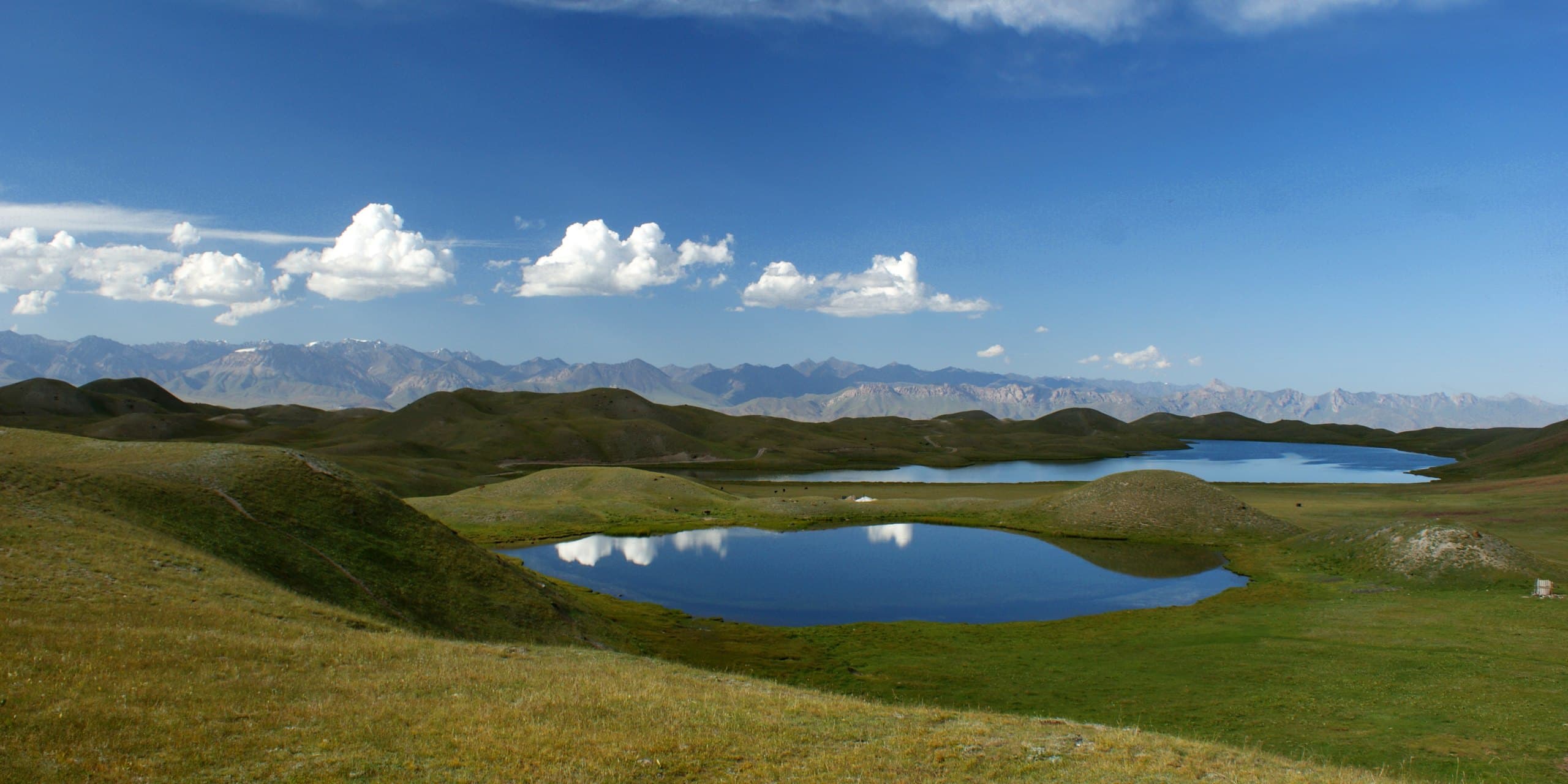
Tulpar-Kul lake

A good option for travellers short on time who still want to see big mountains. The night is in a yurt camp on the shore.

Samarkand

A compact programme: everything essential is within walking distance, ten minutes by car between sites. It links easily with Bukhara and Tashkent.

Bukhara

Bukhara is more compact than Samarkand and better preserved as a living city: the old madrasas hold working workshops, not only museums.

Tashkent

Usually the first and last day of a longer trip. We adjust the programme around your flight times.

The Fergana Valley

The road from Tashkent crosses the Kamchik pass. The natural continuation is Osh: the border is an hour from Fergana.

Kyrgyzstan + Tajikistan

Our most popular combined route. The Kyrgyz leg provides a gentle acclimatisation: by the time you reach Ak-Baital you have already spent a week at altitude.

Tajikistan + Uzbekistan

A fast train runs between Dushanbe and Samarkand, so the long transfer does not eat a day. The city leg comes after the mountains: a shower and a teahouse land differently after a week at 4,000 m.

Kyrgyzstan + Uzbekistan

No overnight stays above 3,100 m — suitable for travellers who cannot take serious altitude but still want mountains and the Silk Road.

Central Asia Grand Tour

Three weeks is the amount of time it takes for Central Asia to stop being a list of places and become one story: from a yurt on Song-Kul to the glazed domes of Bukhara. The route is assembled around the group: the order of countries, the pace and the stops are agreed before departure.